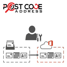
Verify customer data in your checkout
Improve data entry in your

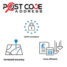
Verifying the postcode of a website is an important aspect of ensuring that the website's address is accurate and up-to-date. This is especially important for businesses that offer goods or services, as an incorrect postcode can lead to missed deliveries

Verifying email addresses on your website is an important step in ensuring that you are communicating with the correct individual and avoiding any potential email delivery issues. Email verification helps to ensure that your website users and customers ar

Phone verification is a powerful tool that can help to enhance the security and credibility of your website, while also improving user experience. At Postcode, we offer a reliable and efficient phone verification service that is designed to verify the ide

Bank verification is an essential service for any website that deals with financial transactions. At Postcode, we offer a reliable and efficient bank verification service that is designed to verify the identity of your users and protect your website from
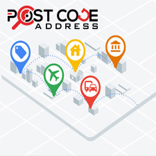
Postcode data is an essential component of mapping and geolocation services. Geolocation, in simple terms, is the process of identifying the location of an object or person on the Earth's surface. Geolocation services are increasingly used in a wide range of applications, including navigation, transportation, logistics, and e-commerce. In this blog post, we will explore how postcode data is used in mapping and geolocation services.
Postcode data is an integral part of mapping services as it helps identify specific locations, streets, and neighborhoods. Mapping services use postcode data to map out the location of an address, which enables users to see where the address is located on a map. This information is especially valuable for individuals who are unfamiliar with the area, allowing them to navigate the area more effectively.
Geolocation services use postcode data to identify the location of an object or person. The data is used in conjunction with global positioning systems (GPS) and cellular networks to identify a user's location. By using postcode data, geolocation services can provide accurate location information down to the street level, which is essential in many applications such as ride-sharing, food delivery, and emergency services.
Mapping and geolocation services use postcode data in several ways, including:
Postcode data is used to verify and validate addresses, ensuring that the information entered by the user is correct. When a user enters an address, the postcode is used to confirm that the address is valid and accurate. This process reduces the number of failed deliveries and ensures that goods and services are delivered to the correct location.
Postcode data is used in location-based advertising, which enables businesses to target their advertising to a specific geographic area. By using postcode data, advertisers can ensure that their ads are shown only to users within a specific area, which is useful for businesses looking to reach a specific audience in a particular location.
Postcode data is used in logistics and transportation to plan and optimize delivery routes. By using postcode data, businesses can group deliveries by postcode, which enables them to create more efficient routes, reducing delivery times and costs.
Postcode data is used in emergency services to quickly and accurately locate a person or incident. Emergency services use postcode data to pinpoint the exact location of the incident, enabling them to respond quickly and effectively.
Postcode data is used in real estate and property services to provide accurate information on property prices and trends. By using postcode data, property companies can provide accurate information on the prices of properties in specific areas, enabling buyers and sellers to make informed decisions.
In conclusion, postcode data is an essential component of mapping and geolocation services. It provides accurate location information that is used to verify and validate addresses, target location-based advertising, optimize delivery routes, and provide emergency services. Postcode data is used in a wide range of applications, from logistics and transportation to real estate and property services. As the demand for geolocation and mapping services continues to grow, postcode data will remain a critical component in providing accurate and reliable location-based information.